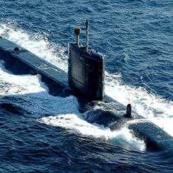
Stunning underwater volcanoes which hint at the origins of one of Britain’s smallest overseas territories have been recorded by Royal Navy survey ship HMS Protector.
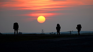
The distinctive bright red-white scientific vessel has spent the past few weeks working around Ascension Island – in the mid-Atlantic just south of the Equator – to update charts of waters last surveyed by the Royal Navy in the days of Nelson.
Located around 1,000 miles south of Liberia and 1,400 miles from Brazil, Ascension is about the size of Swansea, but home to just 800 people.
Thanks to its RAF base on Wideawake Airfield, the volcanic island has played a key role during World War 2 and the Falklands conflict.
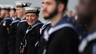
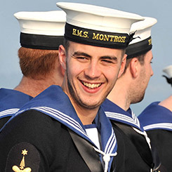
Protector, which is more accustomed to working around Antarctica than in the tropics, has opened her 2021-22 deployment to the Southern Hemisphere helping islanders in Ascension and St Helena (800 miles away).
She’s using her cutting-edge sonar suite and other sensors to update Admiralty Charts – used not just by the Royal Navy, but merchant sailors the world over; some of the waters around the two islands have not been surveyed accurately in two centuries.
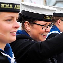
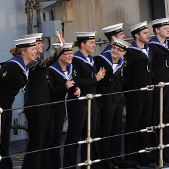
The ship and her 50 sailors are also supporting the government’s Blue Belt environmental programme – part of a wider United Nations initiative to safeguard 30 per cent of all oceans by the end of the decade.
Given Ascension’s geology and proximity to the Mid-Atlantic Ridge, the submerged volcanoes were known about – but have never been seen so clearly. “The survey work conducted by Protector over the past month has enabled the seabed to be mapped in detail not previously achieved in this location,” explained Commander Thomas Boeckx, Protector’s second-in-command.
“These stunning 3D images show data collected from our multibeam echo sounder. Although no longer active, these vent-like structures form part of a wider collection of features on the seabed around Ascension that provide an insight into the volcanic origin of the Island itself.”
The features lie just a kilometre off the coast, extend around 700 metres in diameter and are about 150 metres tall.
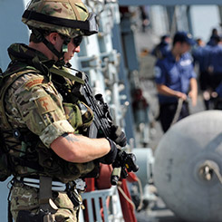
In addition to scanning the waters, Protector has been patrolling them to ensure no commercial fishing is taking place.
An area the size of Iraq around Ascension has been declared off limits to protect fishing stocks and the wider environment, with the waters monitored remotely – although Protector’s presence added a physical deterrence.
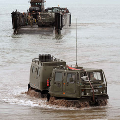
The survey ship has also sent sailors ashore; the ship’s ice reconnaissance drone captured aerial imagery of Wideawake runway which is undergoing a lengthy refurbishment, cleared up public areas in Green Mountain National Park and helped Ascension Island Heritage Society.
The island was once designated ‘HMS Ascension’ with many of the items cared for by the Heritage Society tied to the century of Admiralty rule.
The RAF detachment laid on some activities and tours for the sailors, who reciprocated by showing islanders around the Royal Navy’s only icebreaker, and hosted a reception.