JavaScript seems to be disabled in your browser.
For full functionality of this site it is necessary to enable JavaScript. Here are the instructions how to enable JavaScript in your web browser.
The economy of the United Kingdom relies on the oceans. By conducting detailed oceanographic surveys, the Royal Navy helps keep the routes of global maritime trade open for business.
Hydrographic survey ships work in a variety of sea areas to gather and process hydrographic and oceanographic data, such as sea depth, wave height and barometric pressure. The Royal Navy uses this information for planning and operational purposes.
The data is also dispatched to the UK Hydrographic Office for analysis and inclusion into navigational charts and other navigational safety publications.
HMS Scott – the only ship of her class and the largest survey vessel in Western Europe – is deployed at sea for up to 300 days a year. She carries the High-Resolution Multi-Beam Sonar System, which is capable of surveying 150 square kilometres of ocean floor every hour.
View all related news
HMS Diamond shot down a missile fired by the Iranian-backed Houthis from Yemen.
25 April 2024
We’re used to stunning imagery from the Royal Navy’s icebreaker, HMS Protector, from...
19 April 2024
Topic:Fighting armsSurface Fleet
Storyline: HMS Protector
Royal Navy warship HMS Lancaster seized nearly £33m of illegal drugs as she struck twice...
13 April 2024
A powerful laser weapon will be added to the Royal Navy’s arsenal in the next three...
12 April 2024
Royal Navy warship HMS Trent seized drugs with a street value of £16.7 million in two...
05 April 2024
Storyline: HMS Trent
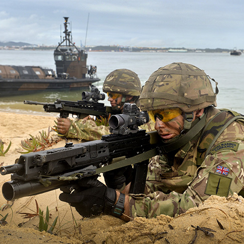
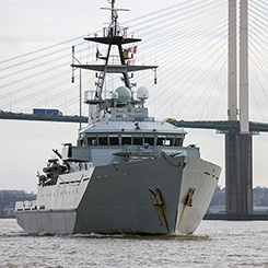
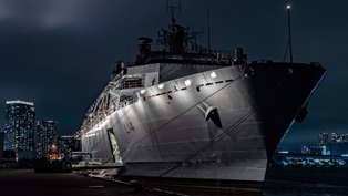
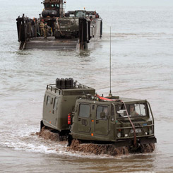
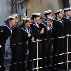
Mine hunter ships, frigates, destroyers and assault ships, among others, form the backbone of our naval prowess.