One of the special things about being a seafarer is that you approach places in a different way.
Most glimpse somewhere new from a plane coming in to land or from the window of a train or driving down an open road.
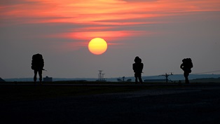
We see it, well, from the sea: A coastline which lifts slowly out of a flat horizon, mountains and high ground first taking shape, then the scene spreading sideways to become a shoreline.
It is always a pleasant sight to come in from seaward, even if the countryside behind proves harsh or forbidding.
But there is down side to making a landfall. Round all coasts lie rocks, offshore shoals, wrecks and sandbanks.
And if you don’t know where they are…you are soon likely to find out the hard way!
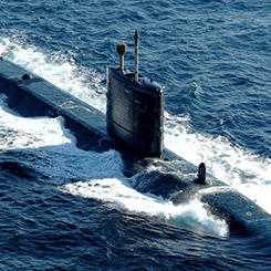
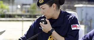
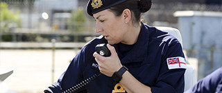
Hence the need for good sea maps and charts, compiled from accurate surveys, for which the Royal Navy’s hydrographers have an enviable and historic reputation, Captain Cook being probably our most famous early (18th Century) cartographer and ocean explorer.
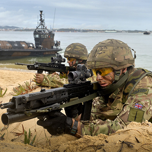
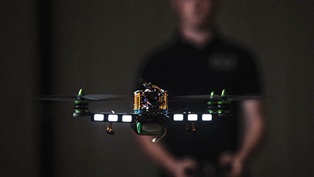
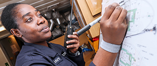
He would certainly be surprised at some of the systems the modern navy hydrographers are working with on Unmanned Warrior.
These have been at sea since the middle of last month. These systems are called Sea Gliders and Wave Gliders and they do not so much look at the problems of the sea bed - rocks and shoals - but into the sea itself, analysing what is known as the water column.
This too is the responsibility of the hydrographer, as oceanographer.
The gliders move slowly and elegantly through the water, taking their time, recording the salinity of the sea, its temperature (and how this changes with depth) and what may be in it – what makes it clear or opaque – and other similar measurements.
All this is sent back with a GPS location from the glider as it moves and a rich field of data can be mapped out by the hydrographic experts to help improve our understanding of the waters around our shores, to the benefit of all who work on them.
And gliders? Well, that is how they move - using the motion of the sea itself, just as a flying aerofoil glider uses air currents.
But the sea mapping side has not been forgotten. Later in Unmanned Warrior the hydrographers will be looking at a number of new sea bed recording systems working and demonstrating in waters near the Isle of Skye.