Historians have plotted the terrible human cost of the Navy’s greatest 20th Century battle for the first time on an impressive interactive map.
The names of more than 6,000 sailors and marine killed at Jutland in 1916 have been marked on a computerised map as part of efforts to tell the human story of the titanic clash of battleships
An impressive interactive map created by historians in Portsmouth shows the terrible human cost of the Navy’s biggest 20th Century battle for the first time.
Created for the 100th anniversary of the Battle of Jutland at the end of May, the computerised map and database lists the 6,000-plus Royal Navy casualties of the titanic clash between the British and German fleets in the North Sea in 1916.
Over a period of little more than 12 hours, 250 warships traded blows with shell and torpedo, ending with 14 British and 11 German vessels on the seabed and more than 8,500 dead.
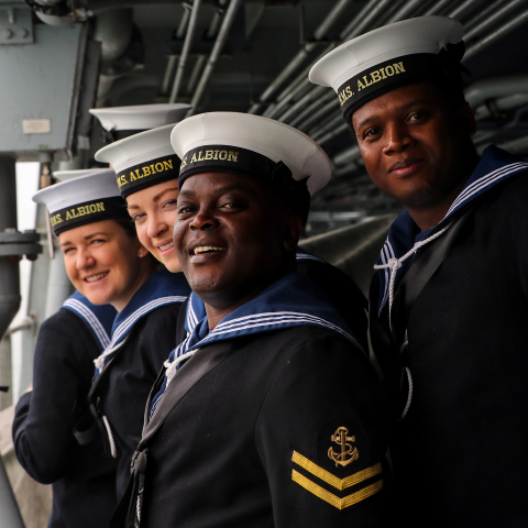
Commemoration of the battle’s centenary is the Royal Navy’s principal event surrounding 100 years since the Great War with services in Scapa Flow, the North Sea and Plymouth, Portsmouth and Chatham on May 31, plus the opening of cruiser HMS Caroline – the last surviving British ship from the battle – in Belfast as a living memorial.
The National Museum of the Royal Navy in Portsmouth Historic Dockyard will be marking the anniversary with the largest exhibition ever staged on Jutland (opening May 12).
But a major part of the museum’s commemorative efforts are online – jutland.org.uk – including the map.
Fully searchable by the name of a sailor, ship, memorial or some of the schools they attended – such as the Royal Hospital in Suffolk – the map/database has been put together with the help of more than a dozen volunteers.
They spent over two years ferreting out the relevant details from official records – which in many cases are quite scant: service number, age, family details, home address and ship and, on rare occasions, photographs.
The resulting map shows that there was scarcely a town or district untouched by the hand of Death at Jutland, from 19-year-old reservist Thomas Johnston from Lerwick in the Shetlands, who went down with the Queen Mary, to 36-year-old Lt (Engineer) Stanley de Quetteville from St Helier in Jersey, lost with the battle-cruiser Indefatigable, and 30-year-old Scottish rugby international/Hampshire cricketer Cecil Abercrombie, who served as a lieutenant aboard cruiser HMS Defence and was lost with all his shipmates.
Death reaped a terrible harvest in the Portsmouth and Plymouth areas (1,869 and 1,059 dead respectively) particularly, but also hit the capital hard (well over 550 casualties), Lancashire (271), the North East (over 150), Yorkshire (more than 170) and so on.
The map as it stands presently is just the starting point. Historians at the National Museum now want the public to fill in the stories of the ‘men of steel’ – photographs, first-hand accounts, letters, anything which puts a human face on a very inhuman battle.
The map can be accessed at nmrn.nautoguide.com/app/nmrn/nmrn/!PNMRN and you can find out more about the museum’s exhibition at jutland.org.uk.